Map the Future in Rural Armenia
Help launch a new hi-tech GIS (Geographic Information Systems) course at the COAF SMART Center in Lori

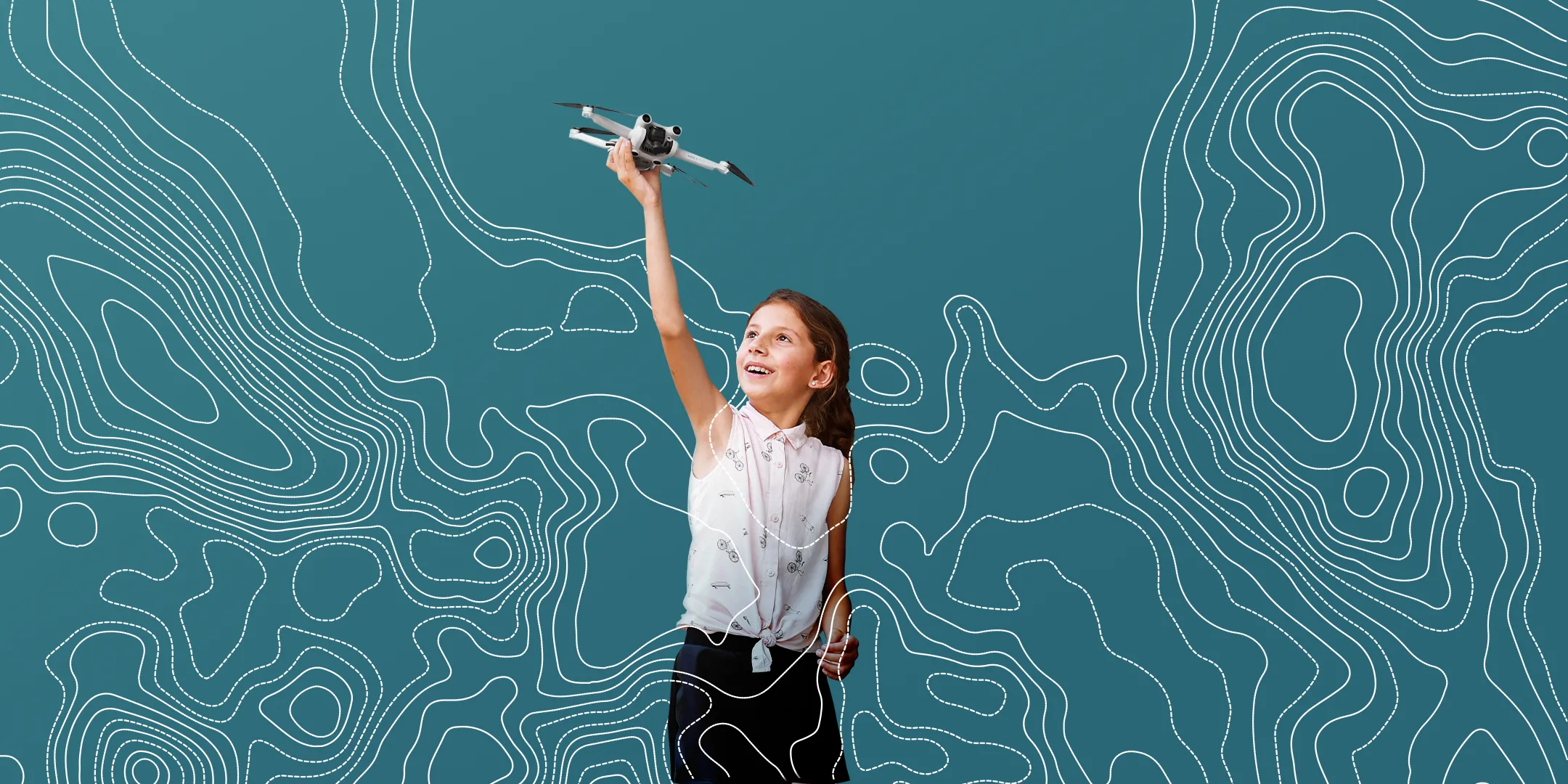
Smiling girl holding a drone above her head over a blue background with white contour lines.

Map the Future in Rural Armenia

Help launch a new hi-tech GIS (Geographic Information Systems) course at the COAF SMART Center in Lori
Smiling girl holding a drone above her head over a blue background with white contour lines.

Empower Rural Youth to Lead in Tech​

This fall, we are excited to launch a cutting-edge GIS course at our SMART Center in Lori. With your support, rural youth will gain hands-on experience with 21st-century technologies to transform their villages into dynamic digital labs. This course isn’t just about maps—it’s about giving kids a new way to understand and improve the world around them.
Icon of a drone with an orange leaf above it symbolizing eco-friendly technology.
Precision Agriculture

Students will learn to monitor crop health using drones, satellite data, and sensors—helping farmers make smarter, more efficient decisions.

Outline of a hand holding an orange warning triangle with an exclamation mark inside.
Risk Management

Youth will analyze flood and earthquake risks to help communities prepare for and respond to natural disasters.

Orange L-shaped connector joining five circles arranged in a grid with six separate blue rings.
Resource Planning

Students will map infrastructure, identify underserved areas, and propose smarter placements for services like clinics and emergency response.

Outline of a human head with an orange gear symbol overlapping the brain area.
Systems Thinking

Youth will visualize their villages as dynamic systems—and reimagine them through innovation and data.

Young woman with glasses and long hair speaking in an office environment.
We can see whether the fruit in a plot of land is healthy or damaged, and the local temperature and conditions.
Zaruhi Jamalian
SMART Student, Participant in GIS Workshop
Young man with short curly hair in a black shirt with white trim speaking indoors with a microphone attached.
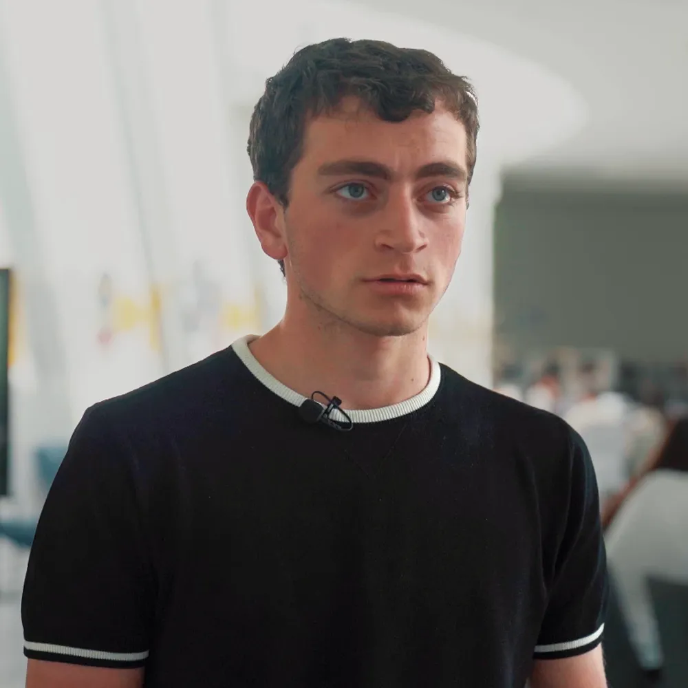
"ArcGIS, through satellites, allows us to collect different kinds of information across the earth."
Samvel Hayrapetyan
SMART Student, Participant in GIS Workshop
Smiling middle-aged man with gray beard wearing a blue polo shirt indoors.
"In our GIS courses, students will learn to follow the full cycle of inquiry: start with a question, explore existing research, gather and analyze data, and visualize their findings on maps. It’s about applying the scientific method to understand and improve the world around them."
Pakrad Balabanian
GIS Curriculum Lead
Our Goal
$100K in 2 Months

We’re raising $100K this fall to fully launch the GIS course at the COAF SMART Center in Lori and make it a permanent part of our tech curriculum.

Your support will help us:

  • Purchase drones, sensors, software, and GIS lab equipment
  • Cover instructor training and salary
  • Cover programmatic costs like transportation and site visits
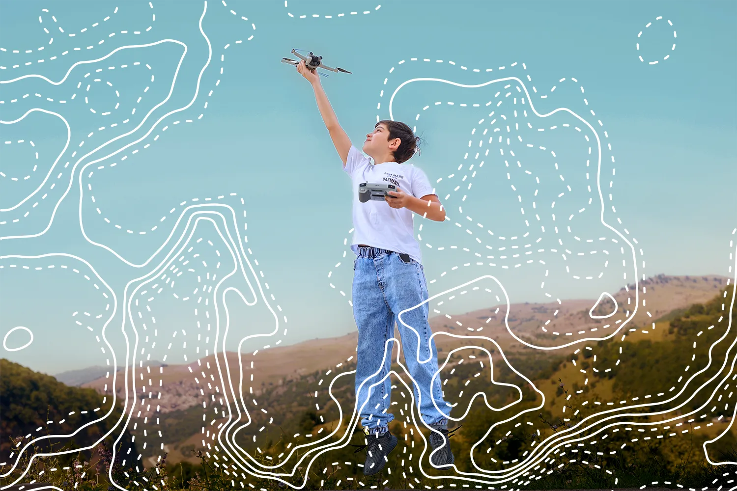
Boy outdoors holding a drone and controller with terrain contour lines overlaid on the image.

GIS: A Launchpad for Future Careers

GIS is one of the fastest-growing tech fields worldwide—and now rural Armenian youth can be part of it. This course equips students with skills to thrive in high-demand careers that shape how the world works. From farming to climate response to city planning, GIS is the hidden engine behind smarter decisions in every sector.

Three stacked teal horizontal bars with an overlapping orange circle with a white dollar sign.
$21 Billion Industry by 2032​

The global GIS market is set to more than double this decade—creating massive opportunities for skilled professionals.

Orange figure walking up steps with an arrow pointing upward at the top right.
Fast-Growing Jobs​

GIS roles like data analysts and drone technicians are growing at 11% in the U.S.—much faster than most career paths, and an indicator for the trajectory of global markets.
Simplified globe icon with the country of Armenia highlighted in orange above it.
Armenia Can Lead, Not Follow​

There’s a global shortage of spatial data experts. With early investment, Armenia can train a new generation of GIS talent to power the future.

Help Us Bring GIS to Life—One Student at a Time​

Every donation directly supports rural Armenian youth in gaining hands-on experience with the technologies shaping tomorrow. Your gift helps equip students with the tools, training, and mentorship to thrive.

Outline icon of a person surrounded by a clockwise circular arrow.

$100

Sponsors 1 Student

Icon of four people with a circular arrow around them representing group or community.

$500

Sponsors 5 Student

$1000

Sponsors 10 Student

Map the Future. Donate Now